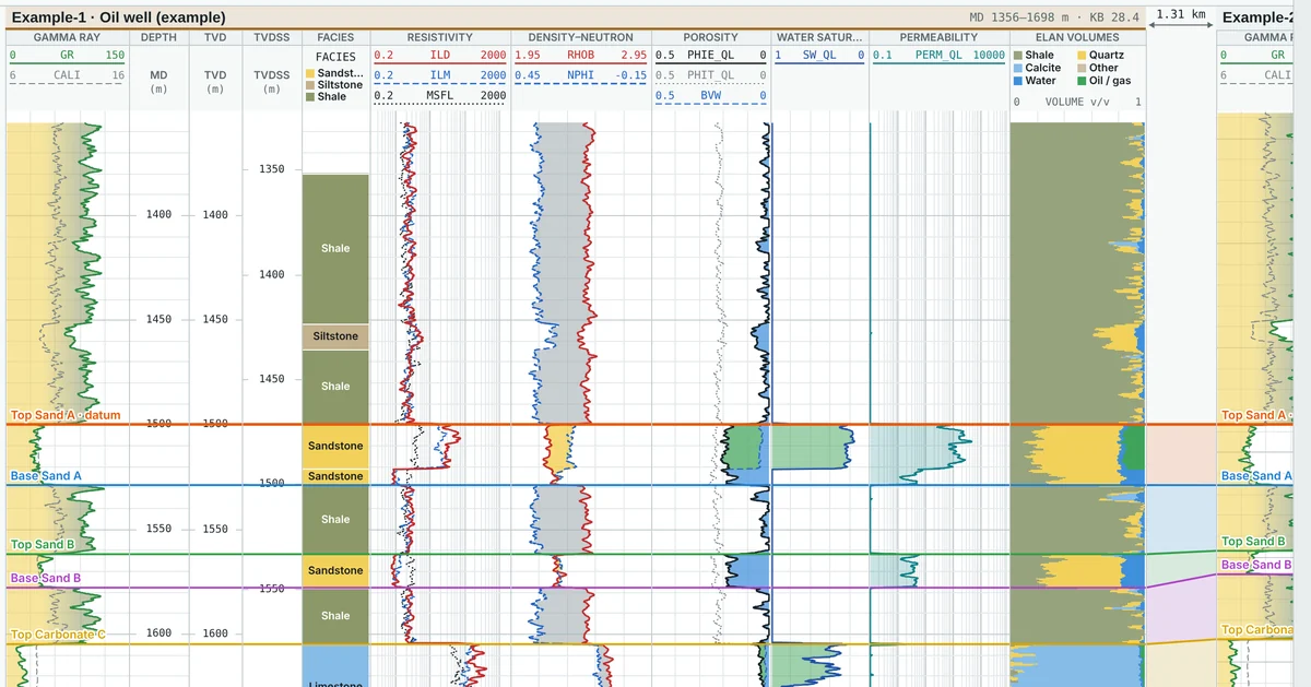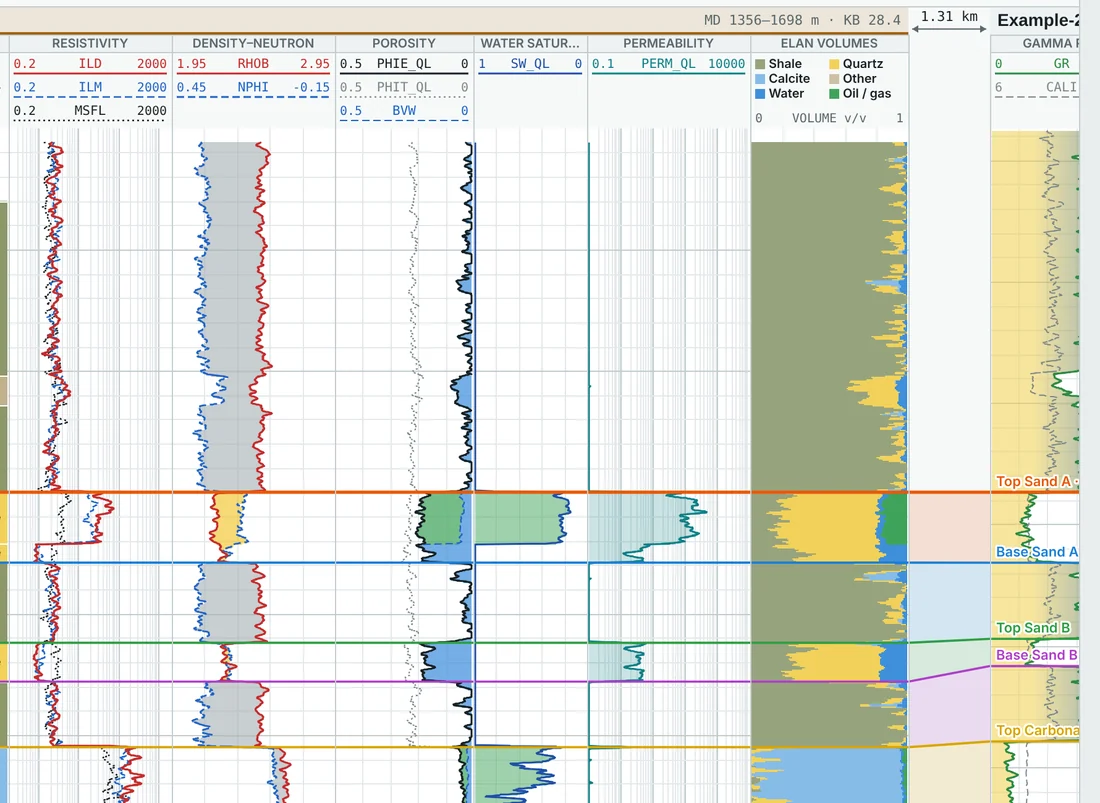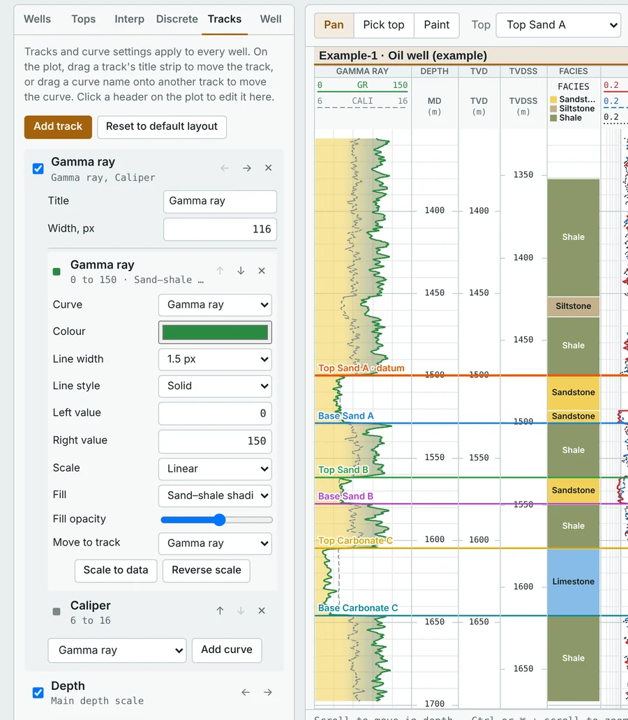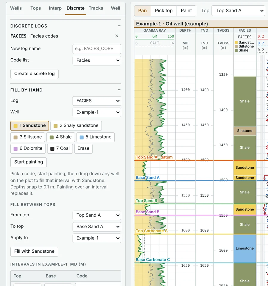

Pick, flatten and compare
Place formation tops by clicking on a well, drag them to adjust, and see the correlation lines and zones update across every well at once.
- Flatten on any top, or view all wells in TVD or structural TVDSS
- TVD from deviation surveys by minimum curvature, with KB and GL elevations
- Interwell distance from X/Y or latitude/longitude, with proportional spacing
- Proposed wells with planned trajectories and target depths